

Routes
Keep the routes you run, walk or hike in Routines › Routes. Plan one in a set and Masarro fills the set’s distance and elevation, draws the route under your trail, and guides you along it.
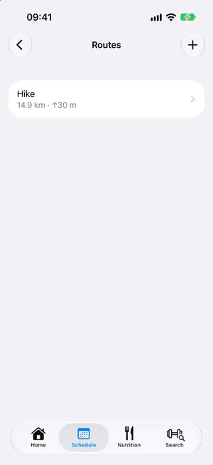
android/routesGetting a route
Section titled “Getting a route”- Import GPX File, or share a GPX file to Masarro from another app: Plan This Route asks which run, walk or hike takes it.
- Draw Route: tap the map to add points.
- From a Past Workout: the trail of any run or hike you recorded.
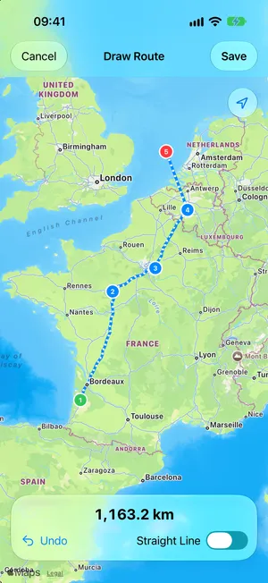
android/route-drawA route’s page
Section titled “A route’s page”The map (full screen on tap), its distance, ascent and elevation profile. Edit Route opens it on the drawing map: tap a point to pick it up, then drag it or tap where it goes, or Delete Point; routines planning the route follow the change. Export GPX, Rename and Delete are there too, and on the route’s swipe and long press.
Following it
Section titled “Following it”During the workout, the live map draws the planned route with arrows the way it goes, its Start and Finish, and turns with you. On top:
- 3.2 km to go while you’re on it;
- Off route · 45 m in orange when you stray more than 30 m, with a buzz; another buzz once you’re back;
- Start · 350 m before you reach it.
ios/live-routeandroid/live-routeAfterwards, the workout’s page shows the distance Planned beside the distance Covered, the planned route dashed under your trail.